Storm warnings for Mazovia begin Monday
Mazovia storms are expected from Monday with thunderstorms and gusty winds. Monitor IMGW forecasts and plan travel accordingly.
The national weather institute has issued alerts as Mazovia storms start on Monday. Consequently, residents and visitors must watch forecasts before the long holiday weekend.
Mazovia storms: warnings and timing
The meteorological picture will grow lively at the start of June. Moreover, a shallow low pressure system will move from west to east on Monday. Therefore forecasters predict widespread showers and thunderstorms then. Models show daytime highs near 20-24°C in central Poland. However nights will be cooler, near 10-12°C. In addition, the European ECMWF model points to several rounds of convection during the first week of June.
Sunday and Monday bring the first surge of activity. Consequently expect afternoon and evening storms on Monday, 1 June. On Tuesday and Wednesday the situation should calm briefly. However passing fronts will still allow localized showers. On Thursday, the holiday of Corpus Christi, forecasts show a warm but unstable day. Temperatures could hit 25-27°C in the center. Therefore many outdoor events face a real risk of late afternoon storms and hail. From Friday through Sunday models keep a similar cycle of warm days and convective storms.
What this means for Warsaw and the region
IMGW-PIB (Polish Institute of Meteorology and Water Management) already issued first-level warnings for parts of Mazovia. In practice the alerts cover western and central counties. Forecasters expect rainfall up to 25 mm and gusts near 70 km/h in warned areas. In addition, hydrological drought persists across many Mazovian catchments. Consequently short, intense rains can trigger rapid river rises in small streams and fast urban runoff in Warsaw.
Experts at ICM (Interdisciplinary Centre for Modelling at the University of Warsaw) point out the role of daytime heating. Therefore long sunny hours help trigger strong convection. Moreover this western circulation pattern is typical for Poland near the Atlantic. Hence residents should plan outdoor travel with flexibility.
Practical local risks and recommendations
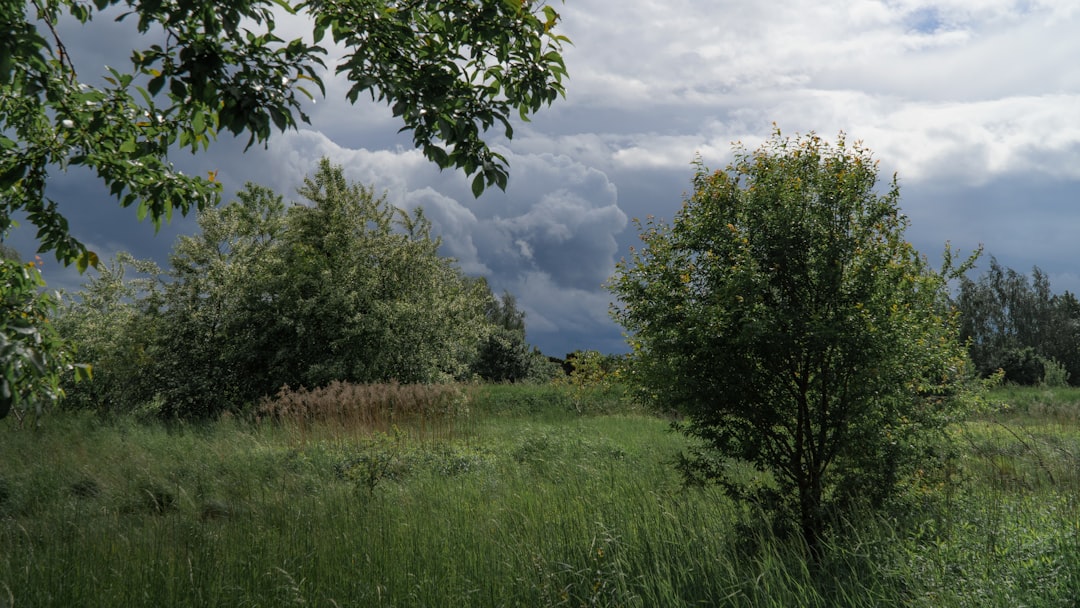
First, do not park under trees during active warnings. Strong gusts can break branches and damage vehicles. Second, avoid camping in low ground near small streams. Flash rises can occur with little notice. Third, remember wet roads become unusually slippery during the first shower after dry spells. Consequently reduce speed and increase following distance while driving. Fourth, older people and young children should limit strenuous outdoor activity during warm, humid afternoons. In addition carry basic supplies if you travel during the holiday weekend.
Finally, monitor warnings closely. Forecasts can change rapidly in convective weather. Therefore check IMGW updates several times a day, especially before traveling on 3 June. In addition keep a weather app handy during outdoor plans. Source: Read original article
📚 Looking for more help settling in Poland? Browse our complete Expat Guides.